
Quebrantahuesos
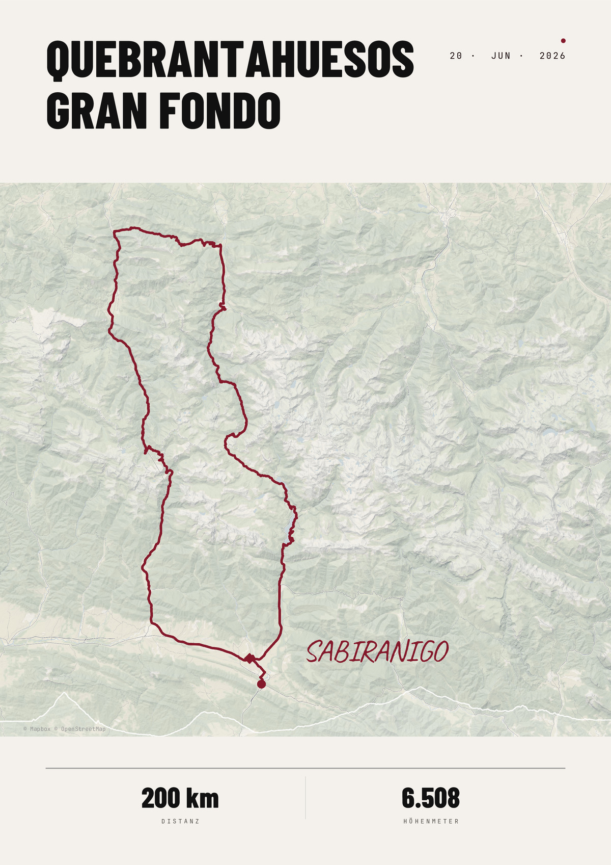
La Quebrantahuesos is a road cycling tour in the Pyrenees, starting and finishing in Sabiñánigo, Spain. The main route is about 200 km long and crosses the Somport, Marie-Blanque, Portalet, and Hoz de Jaca mountain passes; there is also a shorter option, Treparriscos, which is about 85 km long.
PDF · 300 DPI · ready for printing
- 200 g/m², silk finish
- FSC-certified · sustainable
- Free shipping · sturdy protective packaging
| Format | with aluminium frame | |
|---|---|---|
| 21x29.7cm | 37,99 € | 48,99 € |
| 30x40cm | 43,99 € | 59,99 € |
| 50x70cm | 48,99 € | 89,90 € |
| 70x100cm | 58,99 € | – |
- high-quality map based on real GPS data
- customizable with your text and colors
- various formats and frame options
- fast shipping or instant download
What is the Quebrantahuesos?
The Quebrantahuesos is Spain's best-known cycling sportive and one of the largest in Europe. It takes place in June in Sabiñánigo in the Aragonese Pyrenees and is named after the bearded vulture that circles above the peaks.
The course
The loop of around 200 kilometres runs from Spain into France and back: over the Somport into the Aspe valley, over the steep Col de Marie-Blanque and finally over the Portalet back into Spain. In total it adds up to around 3,500 metres of climbing.
Key facts
- Distance: around 200 km
- Elevation: around 3,500 m
- Date: June
- Location: Sabiñánigo, Aragon (Huesca)
- Notable: over the Somport, Marie-Blanque and Portalet – into France and back
Your route as a poster
You can open the official route straight in the editor and design your poster – with the course line, distance and, optionally, your time, the date and your name. If you rode it yourself, upload the GPX file of your own activity instead (how to export it from Strava).