
Stage poster
day by day.
Upload the GPX or FIT files of your tour – we turn them into a poster with every stage, place, distance and climb. Add your photos if you like, placed exactly where you took them.
Free shipping · 200 g/m² paper · Printing near you · GPX & FIT · as many files as you like
This is what your
Stage poster from.
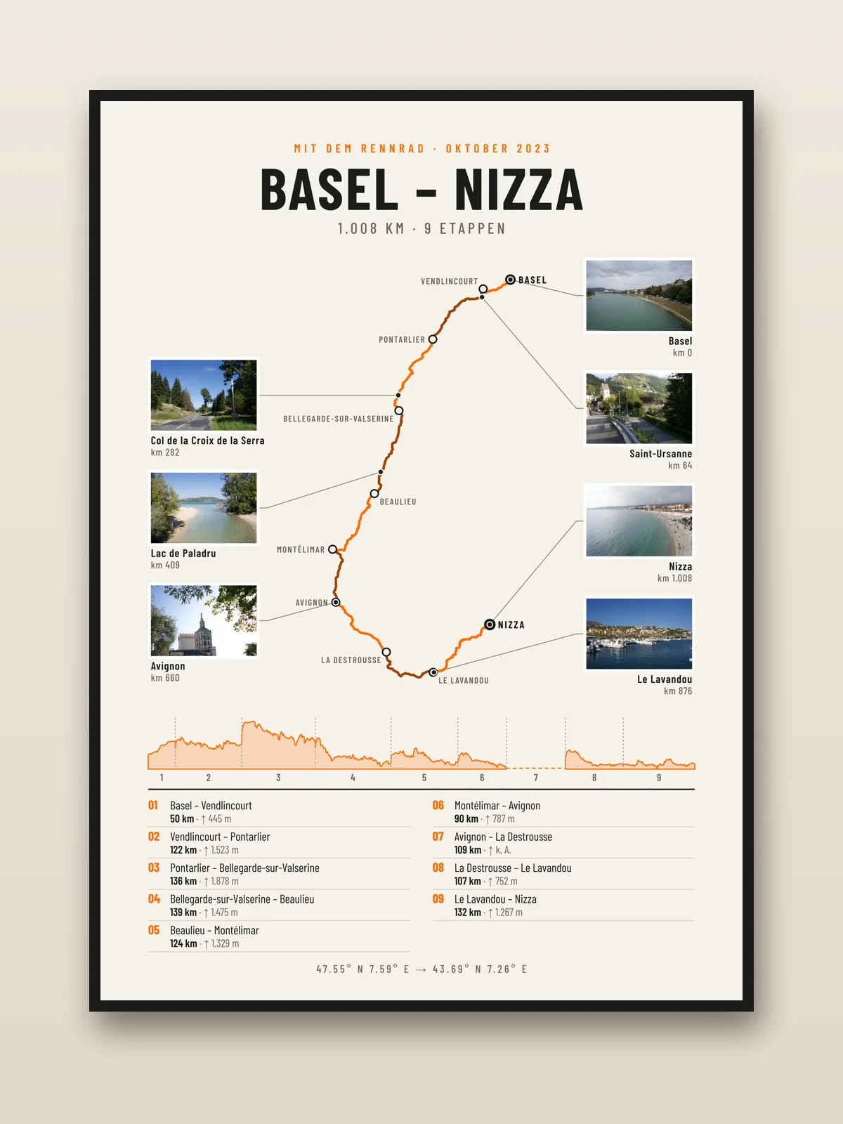
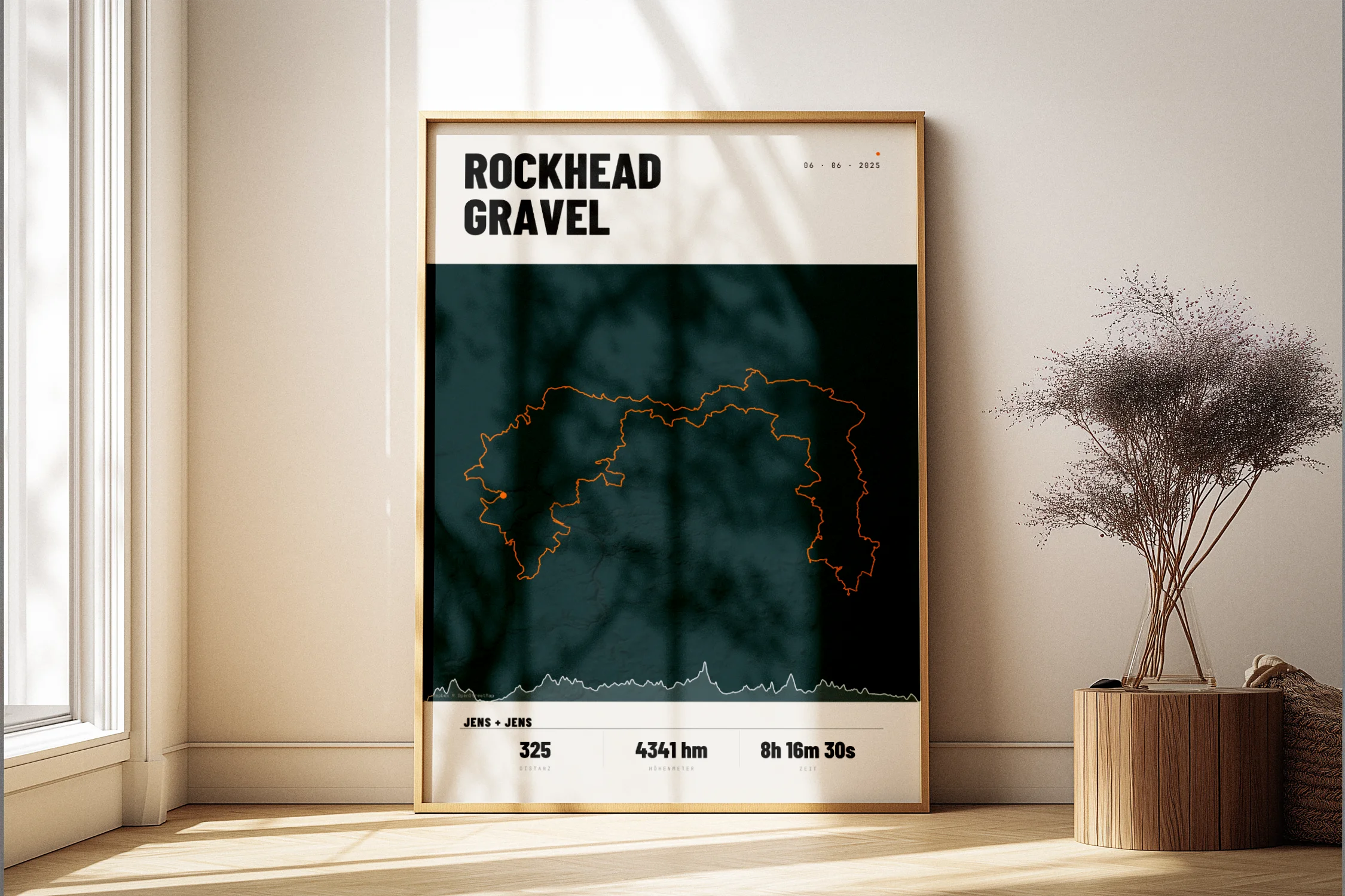
Every stage in its own shade, every stage town on the map, below it the elevation profile of the whole tour and the list of all stages. Light or dark, portrait or landscape.
Premium Paper.
200 g/m², silk finish – FSC-certified, colourfast and durable. Made for the wall, not for the drawer.
FSC-certified
Studio quality
Format
The whole tour.
At a glance.
Map with every stage
The stages alternate in colour. Every stage boundary is labelled with its town – taken from your files and the map.
Elevation profile of the tour
One continuous profile across all days, with stage numbers. We detect faulty elevation data and never make anything up.
List of all stages
From town to town, with distance and climbing for each stage. At the top, the totals: overall distance, stages and climbing.
Your photos where you took them
Up to 8 photos around the map, each with a fine line to its spot on the route, place name and kilometre. The location comes from the GPS data in the photo.
Portrait or landscape
North–south tours look best in portrait, west–east tours in landscape. We suggest the right format – you decide.
Fully customisable
Edit the title, subtitle, places and captions in the editor. Five accent colours, light or dark.
Nothing to type in.
Three steps.
Upload all files
Drop all GPX or FIT files of your tour into the editor at once. We put them in the right order, merge rides from the same day and calculate distance and climbing.
Check places, add photos
We suggest the towns at the stage boundaries, you fix anything that’s off. Photos with GPS data land automatically where they were taken.
Choose a format, order
Print, black aluminium frame or PDF – portrait or landscape. The preview shows exactly the poster that gets printed.
Your format.
Your choice.
- PDF, print-ready · 300 DPI
- Download link available after payment
- Print yourself or at a local print shop
- 200 g/m², silk finish
- FSC-certified · sustainable
- Sturdy protective packaging
- Free shipping
- Slim black aluminium frame (10 mm)
- Shatter-proof plexiglass
- Paper: 200 g/m², satin
- Hanging kit included · ready to hang
For everyone who
was out for more than a day.
An Alps crossing, a long-distance cycle route, a bikepacking race or a week through France: on a normal route poster the individual days disappear into one line. The stage poster shows where each day started and ended – and how hard it was.
It works just as well for multi-day hikes and long-distance trails, as long as your watch or app records GPX or FIT files. Very long tours with many large files are no problem either – the files are read right in your browser.
Frequently Asked Questions
to the Stage poster.
Is there anything missing? Drop us a quick line — we usually reply within a day.
Which files can I upload?
How many stages fit on one poster?
What if the stages are in the wrong order?
Where do the place names come from?
How do the photos get onto the poster?
My elevation data is faulty – what happens then?
Is the poster also available in landscape and framed?
How much does the stage poster cost?
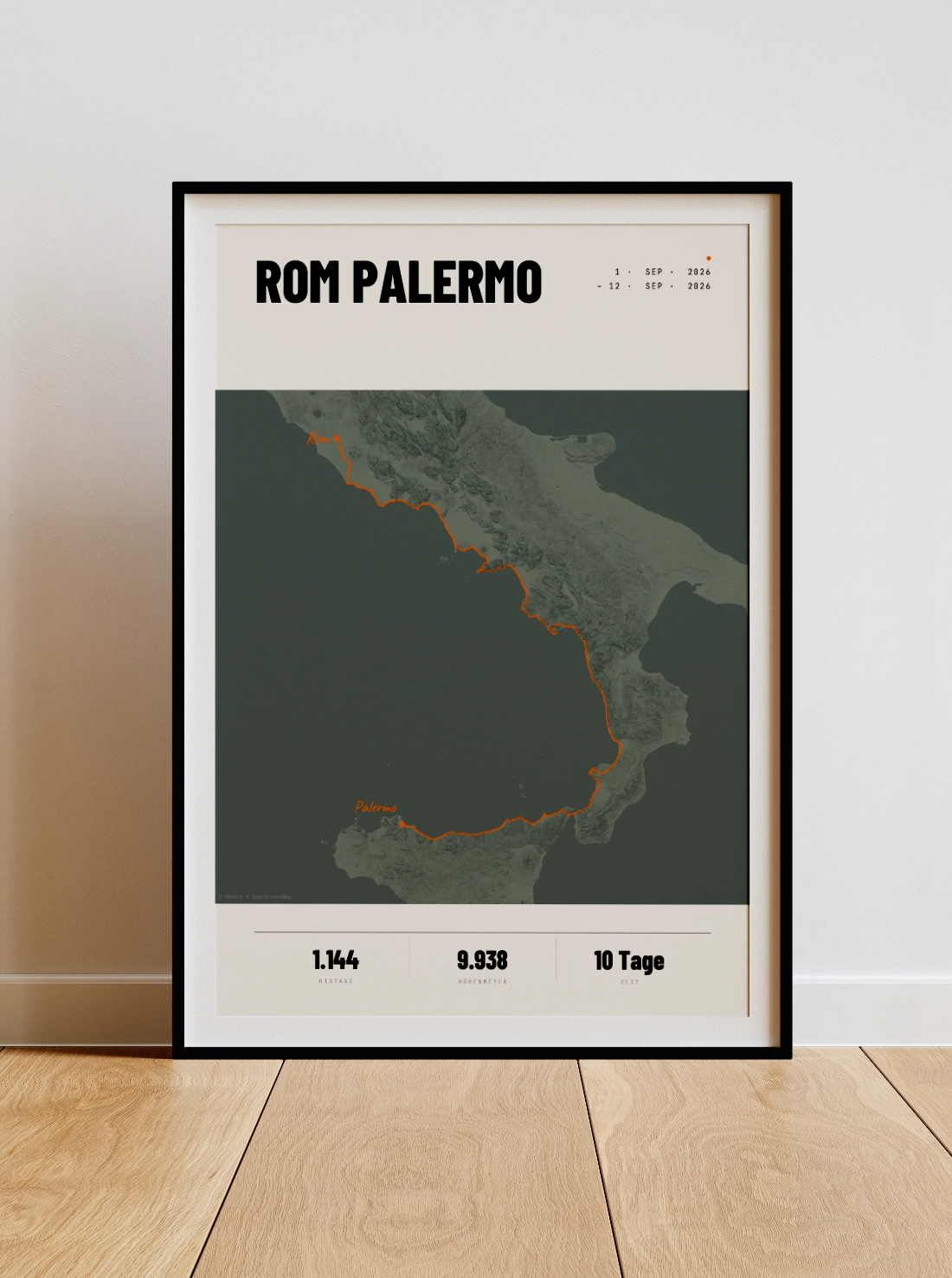
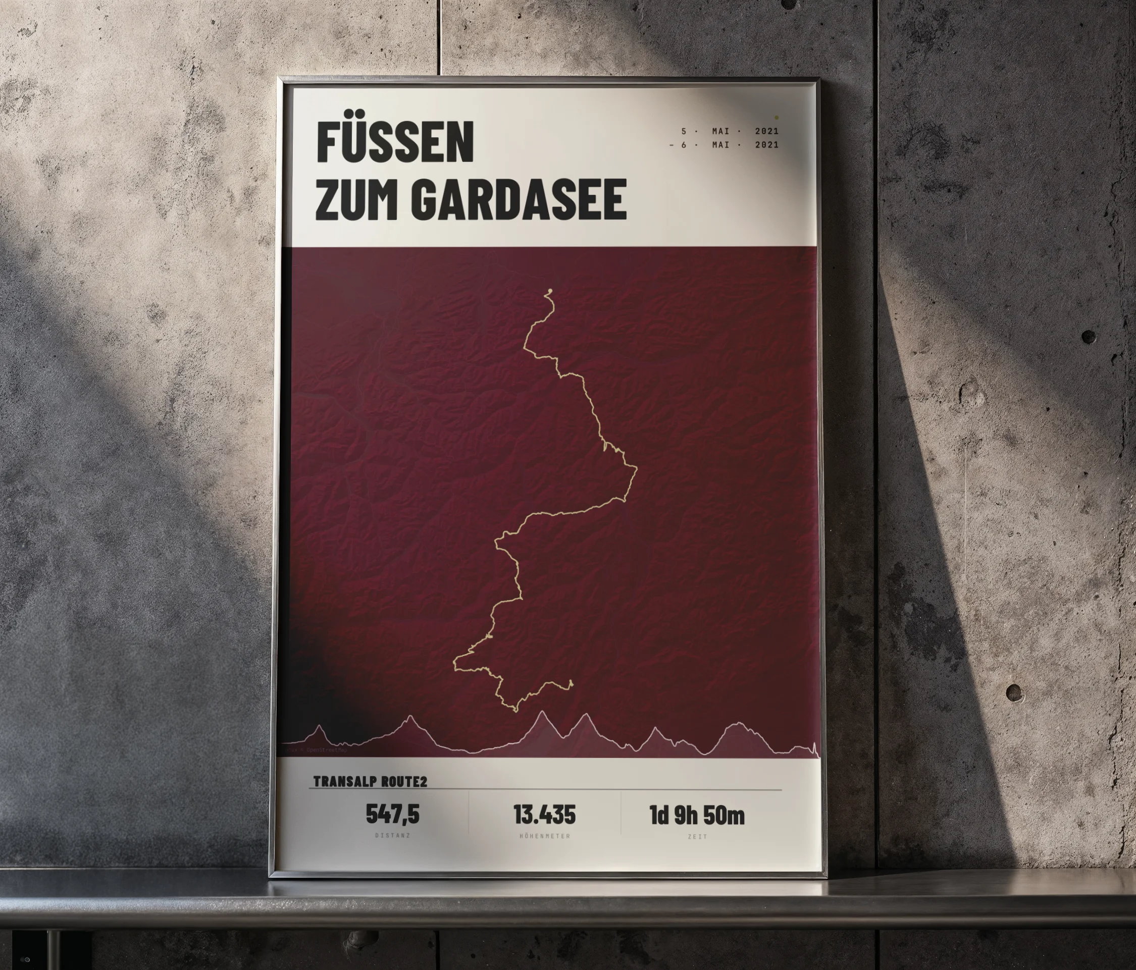
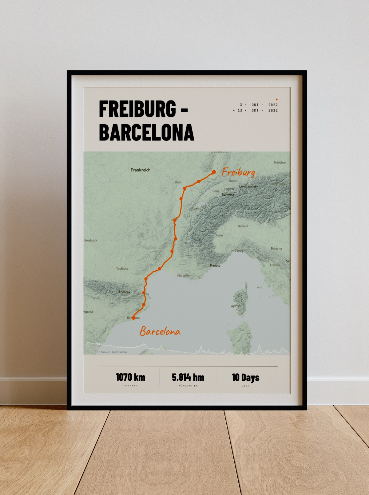
Your tour.
Every stage.
Upload your GPX or FIT files and see the preview of your stage poster within seconds.
Design Your Poster Now